Mineral landscape in France at sunrise — dominant rock relief and telluric atmosphere

Telluric Sites in France

Geological Framework, Megalithic Structures and Mineral Architecture

France possesses one of the most structurally diverse geological territories in Western Europe. From ancient crystalline massifs to Alpine compressive systems and volcanic plateaus, its landscape reveals the deep architecture of the Earth’s crust.

Certain locations are described as telluric sites due to their dominant mineral presence, exposed geological structure, panoramic intensity and long-standing human interaction with stone.

This encyclopedic pillar study provides a complete national-scale analysis of telluric sites in France, grounded in geology, tectonics, mineralogy and historical stone architecture.

This national analysis is part of a broader study of telluric sites and their geological structure across different environments.

Definition of a Telluric Site

The term “telluric” derives from the Latin tellus, meaning earth. In geological terminology, telluric refers to phenomena originating from the Earth’s crust.

A telluric site, in landscape analysis, describes a natural location where mineral structure dominates perception. The ground is not merely soil — it is visibly geological.

Such sites typically exhibit:

The telluric reading of a site does not require mystical interpretation. It arises from measurable geological parameters.

The Geological Architecture of France

The French territory results from multiple tectonic cycles spanning hundreds of millions of years. Understanding telluric sites requires understanding this deep framework.

Three major geological systems define mainland France:

Each system produces distinct mineral landscapes.

The Hercynian massifs, dating back to the Paleozoic era, consist largely of granite and metamorphic rock. The Alpine system results from plate collision and produces sharp relief. Volcanic plateaus reflect mantle upwelling and basaltic flow.

These structural differences generate varied telluric intensities across regions.

Quartz, Granite and Basalt — Mineral Foundations of Telluric Landscapes

Quartz is among the most abundant minerals in ancient massifs. Its crystalline lattice reflects light, enhancing landscape luminosity and structural visibility.

Granite batholiths create massive domes. Sandstone forms tabular structures. Basalt flows generate dark, dense plateaus.

In many French telluric regions, erosion removes softer layers, leaving quartz-rich formations exposed.

This mineral resilience explains why certain ridgelines remain visually dominant for millennia.

Brittany — The Megalithic Granite Plateau

The Armorican Massif in Brittany represents one of Europe’s oldest geological cores. Composed primarily of Precambrian granite, it forms a stable crystalline basement.

The region is globally known for its megalithic structures, including the alignments of Carnac.

Granite blocks, naturally fractured along tectonic joints, provided raw material for menhirs and dolmens.

The mineral density, combined with coastal exposure, creates a structurally powerful landscape.

Explore the detailed regional analysis: Telluric Sites in Brittany.

Massif Central — Volcanic Telluric Architecture

The Massif Central represents France’s primary volcanic region. Its formation includes basaltic flows, volcanic domes and uplifted crystalline plateaus.

The Puy de Dôme and surrounding volcanoes illustrate mantle-driven activity. Basalt stratification creates dense, vertical cliffs.

The volcanic geology produces a distinctly compact telluric reading.

Detailed study: Telluric Sites in the Massif Central.

The Alps — Compression and Vertical Intensity

The Alpine system results from the collision between the African and Eurasian plates. This compression created extreme vertical relief.

Exposed limestone, gneiss, and crystalline rock faces form sharp ridges.

The telluric dimension of the Alps arises from:

Regional study: Telluric Sites in the Alps.

The Vosges — Quartz-Rich Ancient Relief

The Vosges massif consists of ancient crystalline rock, often rich in quartz veins.

Sandstone stratification creates tabular formations. Granite cores provide structural density.

Erosion has shaped rounded summits and exposed ridgelines.

The region’s telluric reading intensifies where quartz concentrations reflect sunlight across open crests.

Detailed analysis: Telluric Sites in the Vosges.

Alsace — The Rhine Rift Valley and Structural Collapse

Alsace occupies the western flank of the Rhine Rift Valley. This continental rift formed through crustal stretching.

The contrast between uplifted Vosges and collapsed Rhine plain generates powerful structural geometry.

One representative site is the Schauenberg massif, combining elevation, quartz-rich sandstone, and panoramic exposure.

Regional analysis: Telluric Sites in Alsace.

Tectonic Grids and Structural Fault Systems

Many landscapes described as telluric correspond to tectonic discontinuities. France is crossed by multiple fault networks inherited from ancient orogenic cycles.

These fracture systems influence:

In Brittany and the Vosges, Hercynian faults guide ridge alignment. In Alsace, the Rhine Rift system defines the contrast between uplift and collapse. In the Alps, compressive tectonics generate extreme vertical exposure.

What is often interpreted as “energy lines” in popular terminology corresponds, in geological reality, to visible structural lines within the Earth’s crust.

Geomorphology and Erosion Dynamics

Telluric landscapes are not static. They result from prolonged erosion processes acting upon resistant rock bodies.

Freeze-thaw cycles, wind abrasion, fluvial incision and chemical weathering progressively remove softer layers.

Quartz-rich formations remain after surrounding sediment erodes, producing visible mineral dominance.

This selective erosion explains why certain summits, stone tables, or basaltic plateaus appear architecturally “constructed”, while they are entirely natural.

Megalithic Structures and Geological Availability

Megalithic construction in France did not occur randomly. Ancient builders selected regions where large stone blocks were naturally available.

Granite in Brittany, sandstone in parts of the Vosges, limestone in western France, and basalt in volcanic regions provided accessible monolithic material.

The presence of standing stones correlates with:

Thus, geology precedes symbolic interpretation. The mineral landscape made megalithic architecture possible.

High Telluric Sites — Objective Criteria

A high telluric site can be identified through measurable physical parameters:

Altitude alone is insufficient. Mineral exposure and structural readability are decisive.

For example, a forested hill may not qualify, whereas a lower but rock-exposed plateau may exhibit stronger telluric characteristics.

Quartz and Light Interaction

Quartz plays a central role in the visual intensity of telluric sites. Its crystalline lattice refracts and reflects light, enhancing luminosity in exposed ridges.

In clear atmospheric conditions, quartz inclusions create micro-reflections that increase perceived brightness.

This phenomenon contributes to the impression of heightened presence often associated with certain summits.

Quartzite formations, resulting from metamorphosed sandstone, exhibit high density and structural cohesion.

Ancient Quarries and Revealed Stratification

Former quarries represent a specific category of telluric site. They artificially expose geological layers otherwise hidden.

By removing surface vegetation and sediment, quarrying reveals:

Such exposure intensifies geological readability.

The Schauenberg massif, for example, combines natural relief and former extraction zones, revealing sandstone stratification and quartz inclusions.

Cosmo-Telluric Interpretation — Landscape Horizon Interaction

The expression “cosmo-telluric” is frequently used to describe sites where the interaction between sky horizon and earth structure becomes visually dominant.

Geographically, this configuration corresponds to:

The perceptive intensity arises from:

This is a landscape phenomenon, not a measurable energetic field.

Structural Silence and Acoustic Isolation

Many telluric sites exhibit low acoustic disturbance. Elevation and isolation reduce anthropogenic noise.

The resulting silence amplifies mineral perception. Rock surfaces absorb and diffuse sound differently than vegetation.

Acoustic characteristics contribute significantly to the sensory intensity of exposed summits.

Comparative Regional Density of Telluric Landscapes

If measured by geological diversity and mineral exposure, France ranks among Europe’s richest territories.

Regional telluric density varies:

Each region expresses a distinct geological intensity.

From Geological Mass to Sculptural Monolith

Contemporary monolithic sculpture draws structural inspiration from geological mass.

Quartzite, granite and basalt embody density, compression and stratified continuity.

Where ancient builders erected standing stones, modern sculptural practice refines mineral mass into architectural form.

Explore the material dimension in the Material section.

Advanced FAQ — Telluric Sites in France

What makes a landscape “telluric”?

A landscape is described as telluric when its mineral structure dominates visual and spatial perception. Exposed bedrock, strong relief contrast, quartz concentration and geological readability are central criteria.

Is there scientific recognition of telluric sites?

Geology recognizes tectonic structures, mineral exposure and fault systems. The term “telluric site” is a descriptive landscape expression rather than a formal geological classification.

Are telluric sites linked to tectonic faults?

Often yes. Many dominant ridgelines correspond to fault zones or uplifted structural blocks formed during tectonic cycles.

Why is quartz frequently associated with telluric intensity?

Quartz is highly resistant to erosion and reflects light efficiently. Quartz-rich formations remain visually dominant long after softer materials erode.

Which French region has the highest concentration of megaliths?

Brittany hosts Europe’s largest megalithic alignments, including Carnac.

Do volcanic landscapes qualify as telluric?

Yes. Basaltic plateaus and volcanic domes in the Massif Central exhibit strong mineral dominance and structural clarity.

Are the Alps considered telluric landscapes?

The Alps represent compressive tectonic systems with extreme vertical relief, making them structurally intense geological environments.

What role do ancient quarries play?

Former quarries reveal geological stratification that may otherwise remain hidden, intensifying mineral visibility.

Is there a difference between a megalith and a telluric site?

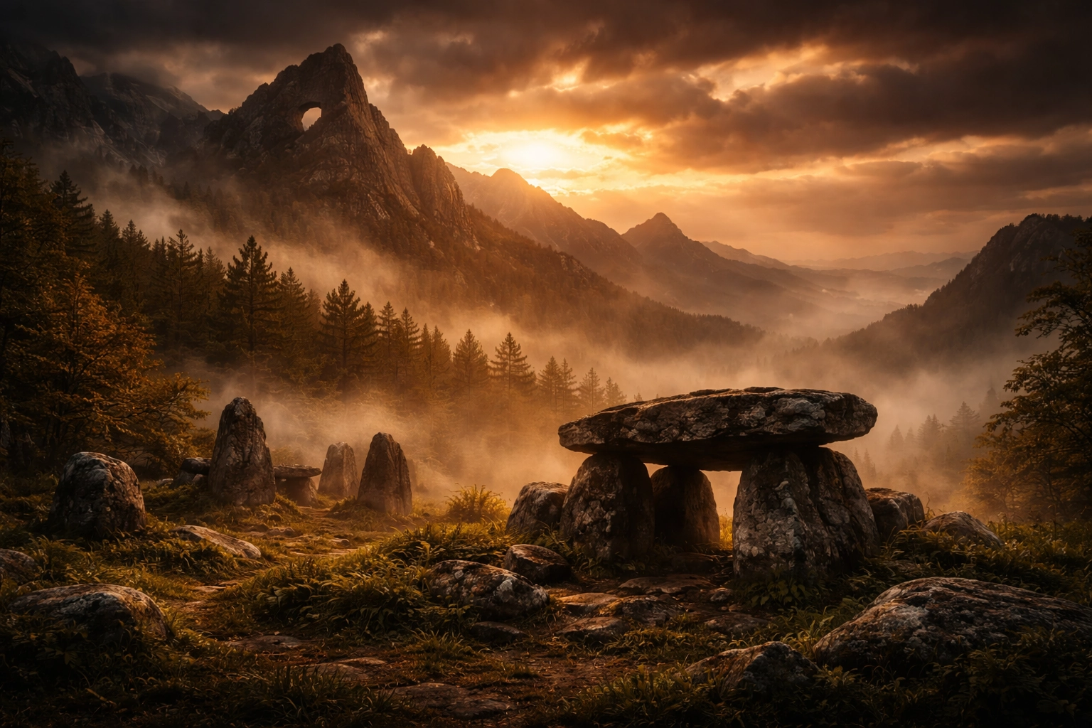
A megalith is a human-built stone structure. A telluric site refers to a natural geological location characterized by mineral dominance.

Are telluric sites mystical?

Perceptions of intensity typically arise from measurable geological and environmental factors rather than scientifically verified energy phenomena.

What is a high telluric site?

A high telluric site is generally an elevated, rock-exposed location offering panoramic openness and visible geological structure.

Do coastal cliffs qualify?

Yes. Granite or limestone cliffs, particularly in Brittany, exhibit strong mineral presence and horizon exposure.

Are sandstone formations telluric?

Yes, especially when stratification is clearly visible and relief dominates surrounding terrain.

Is the Rhine Rift Valley tectonically active?

The Rhine Rift remains moderately active, generating low-intensity seismic events in eastern France.

Why are summits often associated with telluric qualities?

Summits combine elevation, exposure, mineral visibility and reduced acoustic disturbance.

Can forests reduce telluric perception?

Dense vegetation may obscure bedrock visibility, reducing structural readability.

Do all mountains qualify?

Not necessarily. Mineral exposure and structural clarity are more important than altitude alone.

Is quartzite used in contemporary sculpture?

Yes. Quartzite’s density and structural cohesion make it suitable for monolithic sculptural practice.

Is there an official telluric map of France?

No official map exists. The concept reflects a geological and landscape-based interpretation.

How can one identify a telluric site?

Look for exposed bedrock, structural clarity, mineral dominance and strong horizon exposure.

National Structural Summary

France’s telluric landscapes emerge from deep geological processes spanning hundreds of millions of years. From Hercynian crystalline cores to Alpine compression and volcanic basaltic plateaus, the territory reveals the Earth’s structural memory.

Megalithic architecture did not create this mineral framework. It responded to it. Ancient builders positioned standing stones where geological stability and mineral presence were already dominant.

Today, exposed summits, granite plateaus, sandstone tables, and quartz-rich ridges continue to express the deep architecture of the crust.

Understanding telluric sites requires geological literacy. It demands reading the land as structure, not myth.

Contemporary Mineral Continuity

The transition from ancient standing stone to contemporary monolith is structural rather than symbolic. Both rely on density, verticality, and mineral cohesion.

Quartzite sculpture condenses geological mass into controlled form, preserving structural integrity while refining geometry.

Explore the mineral dimension through the Quartzite Sculpture series.

Regional Navigation

Continue exploring France’s telluric regions: