Brittany rests upon one of the oldest geological foundations in Western Europe: the Armorican Massif. Formed during the Precambrian and Paleozoic eras, this crystalline basement shapes a mineral landscape where exposed granite, coastal chaos formations, and megalithic architecture converge.
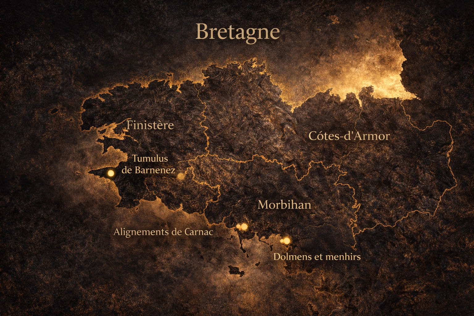
Understanding Brittany as a telluric territory requires geological literacy. The menhirs of Carnac, the granite cliffs of Finistère, and the stratified plateaus of Côtes-d’Armor are expressions of deep crustal history.
The Armorican Massif originated more than 540 million years ago. Its crystalline basement formed during successive tectonic collisions associated with the Hercynian orogeny. Granite intrusions consolidated the crust, producing dense, erosion-resistant structures.
Unlike the Alpine system, Brittany’s relief is moderate. Its telluric intensity derives not from altitude, but from mineral permanence and structural exposure.
Granite domes, jointed fracture systems, and long-term erosion created rounded yet massive topography. This structural stability enabled prehistoric communities to access large stone blocks without deep excavation.
The Carnac alignments represent the highest concentration of standing stones in Europe. More than 3,000 granite menhirs extend over several kilometers.
The stone used was local Armorican granite. Natural fracture planes facilitated extraction. The megaliths are therefore not imported artifacts — they are vertical extensions of the geological substrate.
This relationship between available granite mass and human construction illustrates a direct link between geology and megalithic culture.
National context: Telluric sites across France.
Finistère’s coastal zones exhibit granite chaos formations. These result from differential erosion along fracture networks. Wind, salt spray, and wave impact sculpt exposed batholiths into stacked mineral masses.
The exposed bedrock, combined with Atlantic horizon openness, creates strong structural readability. The telluric perception arises from:
The Morbihan region concentrates dolmens, tumulus, and alignments. Sites such as Barnenez demonstrate sophisticated stone engineering.
These monuments rely on granite’s compressive strength. Load distribution across horizontal slabs reflects empirical structural understanding.
The geological plateau enabled large-scale stone positioning without long-distance transport.
Northern Brittany reveals stratified granite plateaus. Here, the relief remains moderate but rock exposure is continuous.
Vegetation does not entirely obscure the mineral substrate. Joint systems remain visible. Surface fractures guide natural water flow.
The plateau configuration reinforces horizontal structural perception, contrasting with Alpine vertical compression.
Armorican granite frequently contains quartz veins. These inclusions refract light, increasing surface luminosity under clear atmospheric conditions.
Micro-crystalline reflections contribute to the perceived mineral intensity of exposed summits and coastal ridges.
Quartz density plays a similar structural role in other regions such as the Vosges Massif.
Altitude is secondary. Mineral readability is primary.
The transition from prehistoric standing stone to contemporary mineral sculpture is structural rather than symbolic. Both rely on mass, density, and vertical emphasis.
Explore mineral continuity through: Quartzite Sculpture